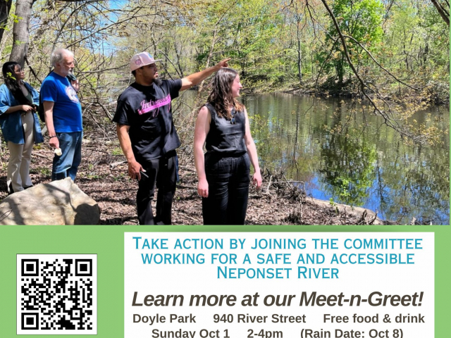
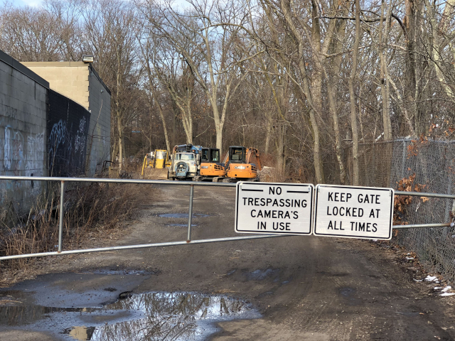
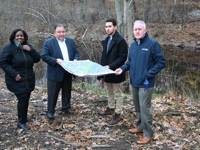
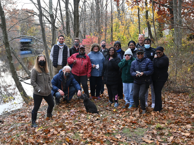
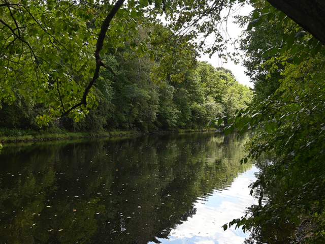
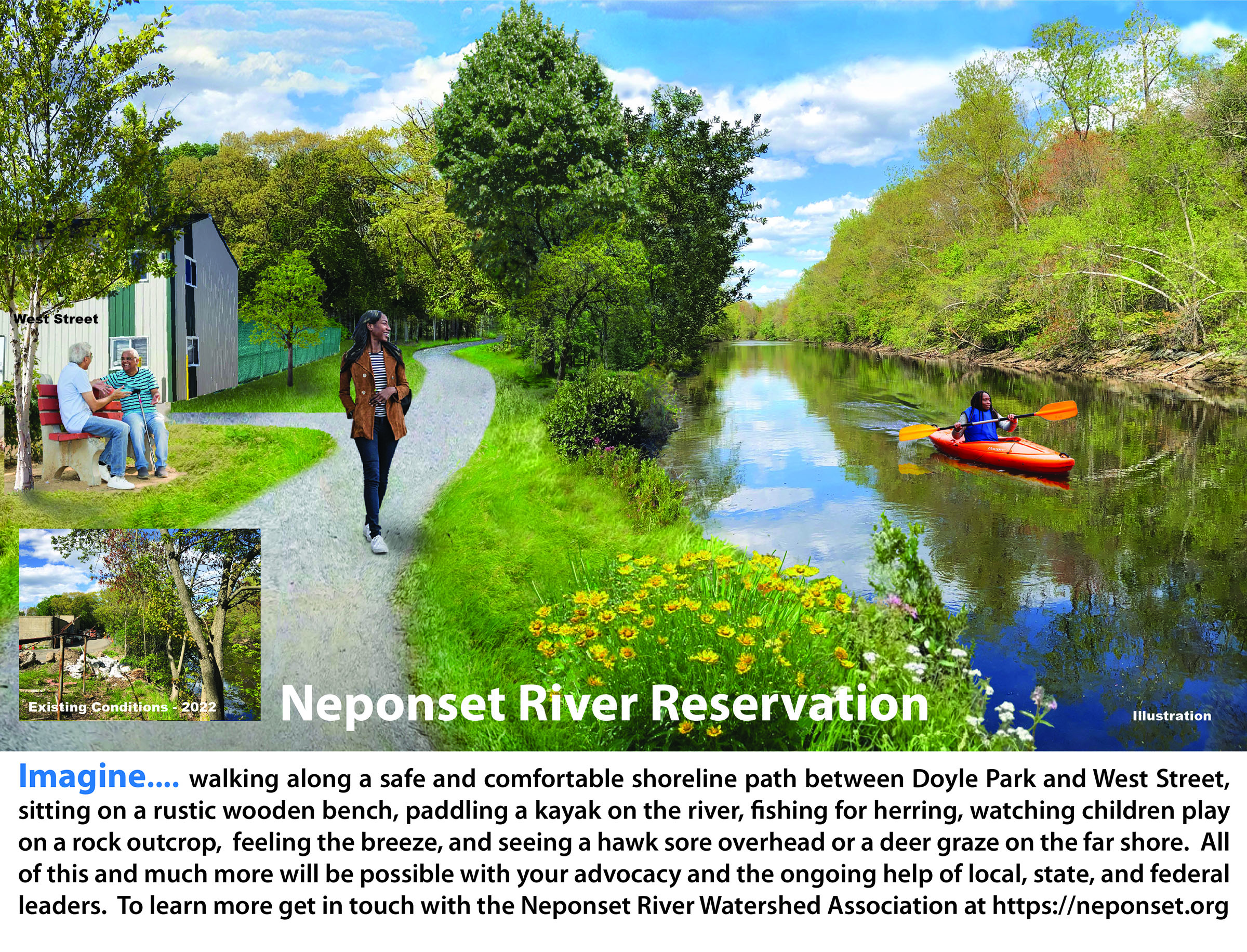
The proposed Hyde Park Riverwalk will stretch for half a mile from the Shops at Riverwood to the West Street Urban Wild. It will cross over several acres of filled land created by the DCR (then MDC) when they dredged the Neponset River in the mid 20th century. Until very recently this land was so cut off by fences and hidden by thick vegetation that most residence didn’t know it existed. Some residents in the neighborhood were not aware that the river existed just a few short blocks away. Exploratory clearing was begun in 2022 to reveal an extraordinarily beautiful stretch of river which, unlike the Charles River or the Mystic River to the north, has no roadways crowding its banks. Property surveys completed in the spring of 2023 indicated much more land owned by the state than previously thought along with numerous private encroachments. As part of the Second annual Doyle Park Day in the spring of 2023 community members were invited to walk along their riverfront for the very first time.
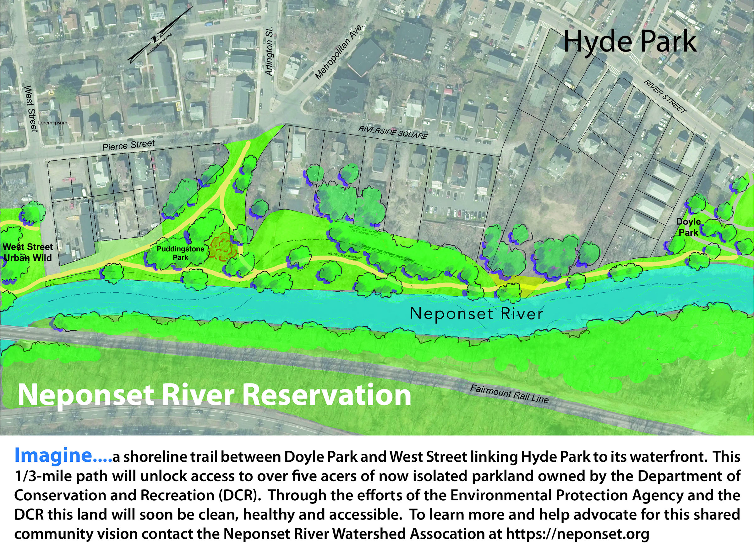
Current status: The EPA is proceeding with testing for soil contaminants in the filled areas and mitigating any hotspots that they find during phase one of their overall superfund project. The river access working group will be engaging with abutters all along the corridor to discuss how to address encroachments and other barriers to an eventual linear park and path along the river. (May 2023)
Timeline
| Date | Milestone |
| 2021 | Land upstream of Doyle Park identified as owned by the DCR and a prime candidate for improvements |
| 2022 | Interim path cleared to unlock access to acers of hidden shoreline |
| 2022 | Community leaders walk the path for the first time |
| 2022 | River corridor photographed for inclusion on Google Maps |
| 2022 | Superfund assessment for 3.7 miles of river begins |
| 2023 | Doyle Park Day - First community walk along interim path |
| 2023 | EPA completes property line survey revealing minor encroachments |
| 2023 | Private Developer agrees to donate a public access easement to make the riverwalk possible |
| 2023 | DCR accepts the Hyde Park Riverwalk and schedules design for 2024 |
| 2024 | Public workshops scheduled to explore the past, present, and future of Neponset River access |
Project Details
Initiated:
2022
Foundation Investments
- $30,000
Partner Investments
- EPA survey work
Key Partners
- Department of Conservation and Recreation
- EPA
- NepRWA
- SWBCDC
- Neighborhood associations (4)
Consultants
- BSC Group
- Holden Engineering and Surveying


