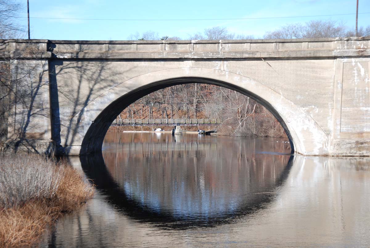
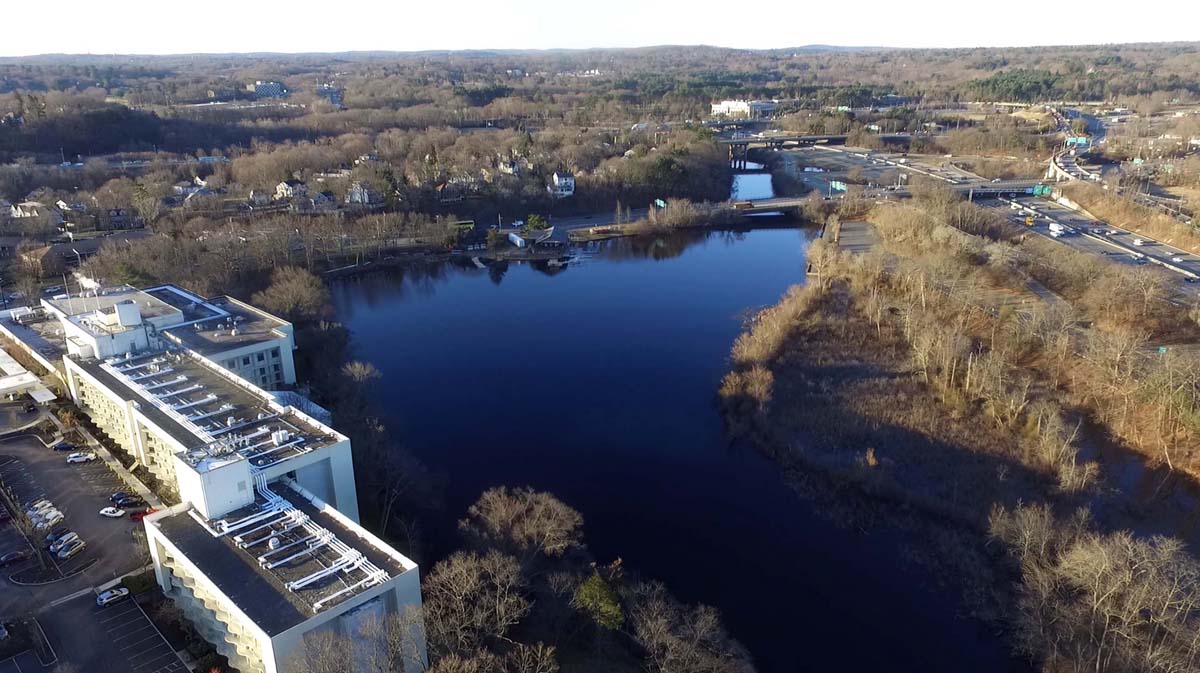
The Riverside Greenway Network along the banks of the Charles River in Newton and Weston is a key regional link bridging the dual barriers of I-90 and I-95. This link is the long planned and sought after continuation of the regional Blue Heron Trail along the Charles River from downtown Boston. Starting at Lyons Field in Newton, a network of on-street and off-street paths, bridges, and underpasses will transverse I-90, I-95, and the Charles River to reach the extensive trail systems in Wellesley and Weston. This trail network will make accessible again two miles of stunning riverfront cut off by the construction of the interstate highway system in the mid twentieth century.
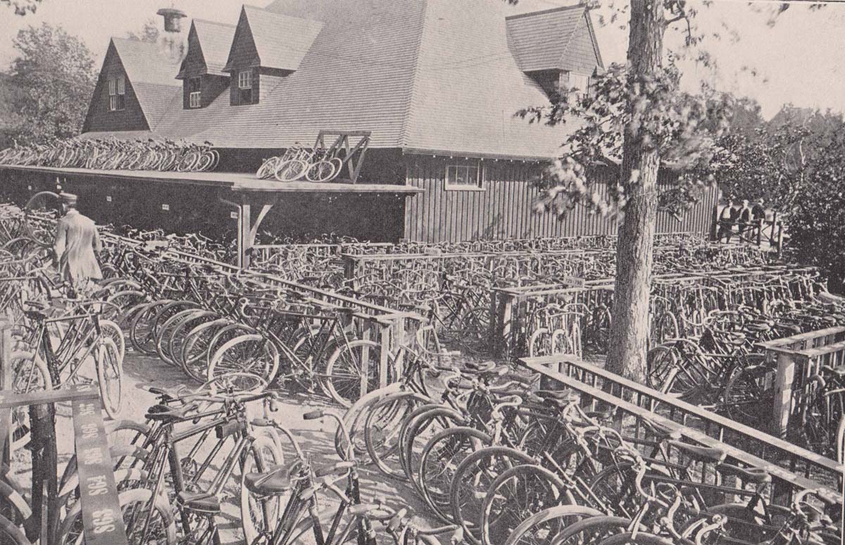
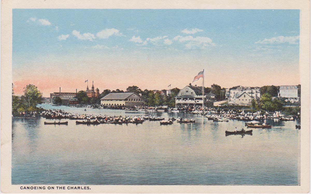
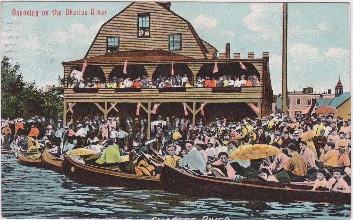
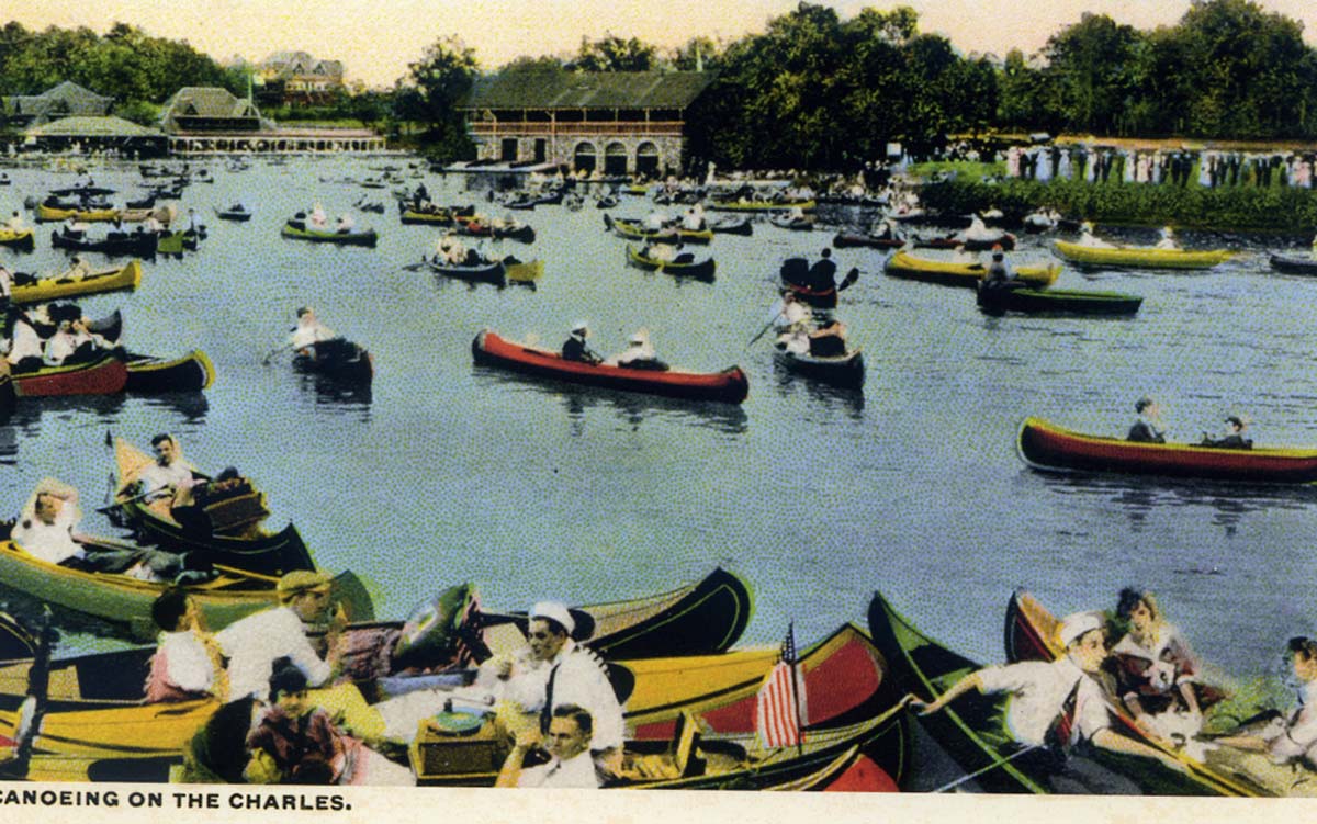
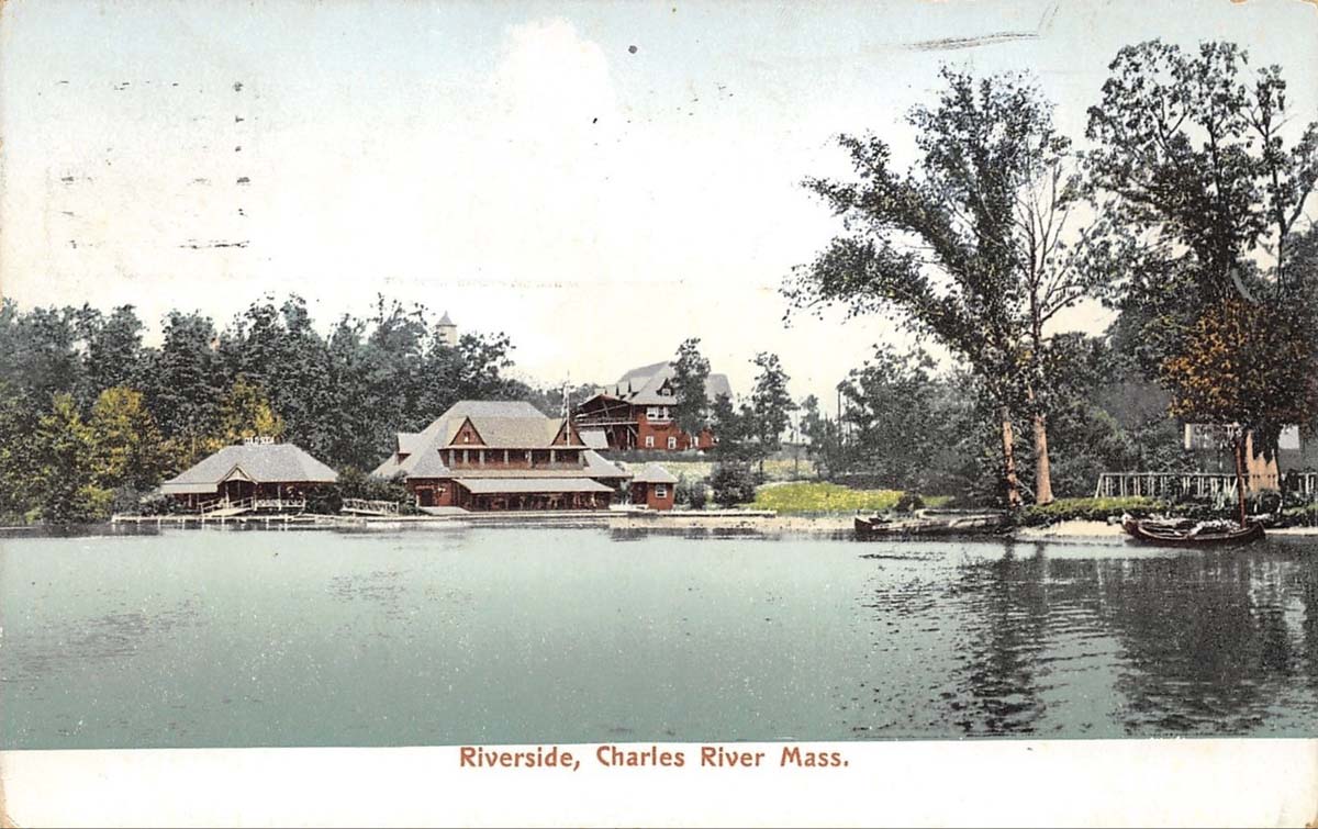
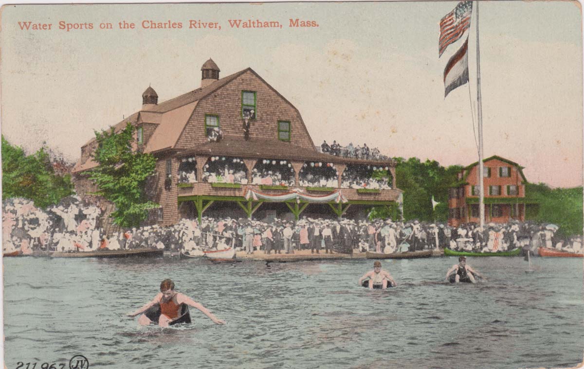
Background: At the dawn of the 20th century, train and trolley lines processed Boston’s increasingly urbanized population affordable access to the Riverside Recreation Grounds and a stretch of the upper Charles River between Newton and Weston known as the Lakes. On busy weekends, over 5000 canoes a day were launched in the Lakes District and visitors enjoyed swimming in the largest spring-fed swimming pool in New England. in the Greater Boston area residents have long enjoyed active, outdoor leisure activities along a stretch of the upper Charles River between Newton and Weston known as the Lakes District. The invention of the automobile disrupted these recreations pastimes and the construction of the interstate highway system – the I-90 turnpike and Route 128 – in the mid 20th Century cut off access to the river. Today, a resurgent interest in greenways and passive recreation is fueling and effort o reclaim a lost legacy. In 2016, the Riverside Greenway Working Group formed a public private partnership with the state, the city, and a private developer. They gained crucial support from the MassTrails program and the federal Recreational Trails program as well as the Solomon Foundation. The complexity of this undertaking is matched by the incredible dedication of all partners who are all working together to advance this shared effort.
Timeline
| Date | Milestone |
| 2016 | Riverside Greenway Working Group formed |
| 2017 | Recreation trails grant awarded for Two Bridges Trail |
| 2018 | BSC Group begins work on Two Bridges Trail |
| 2018 | Jacobs Engineering begins network plan for Riverside area |
| 2018 | Recreation trails grant awarded for Pony Truss Trail and River Links Design |
| 2019 | Scoping for Comm. Ave. Greenway and Weston trail links |
| 2019 | Mass Trails Grant for Auburndale Links Awarded |
| 2020 | Newton Community Preservation Act Funding for Auburndale Links Awarded |
| 2020 | Pony Truss Trail Constructed |
| Projected | |
| 2023 | MassDOT replaces Lasell Boat House Bridge |
| 2025 | Commonwealth Ave. Carriageway Restoration scheduled for TIP funding |
Project Details
Initiated
- 2016 Riverside Greenway Working Group formed
Solomon and Barr Investments
- $92,000
Partner Investments
- $763,504
Estimated cost to complete
- TBD
Key Partners
Consultants
Status
- Network planning completed for the Riverside Greenway between Lyons Field and Newton Lower Falls.
- Conceptual design underway for key segments.
Documents
- Summer 2020 Riverside Greenway Update Newton Conservators Newsletter
- Riverside Greenway Trail Network
- Close-up Riverside Greenway Trail Network
- Public Presentation at Newton Library
Map/Directions
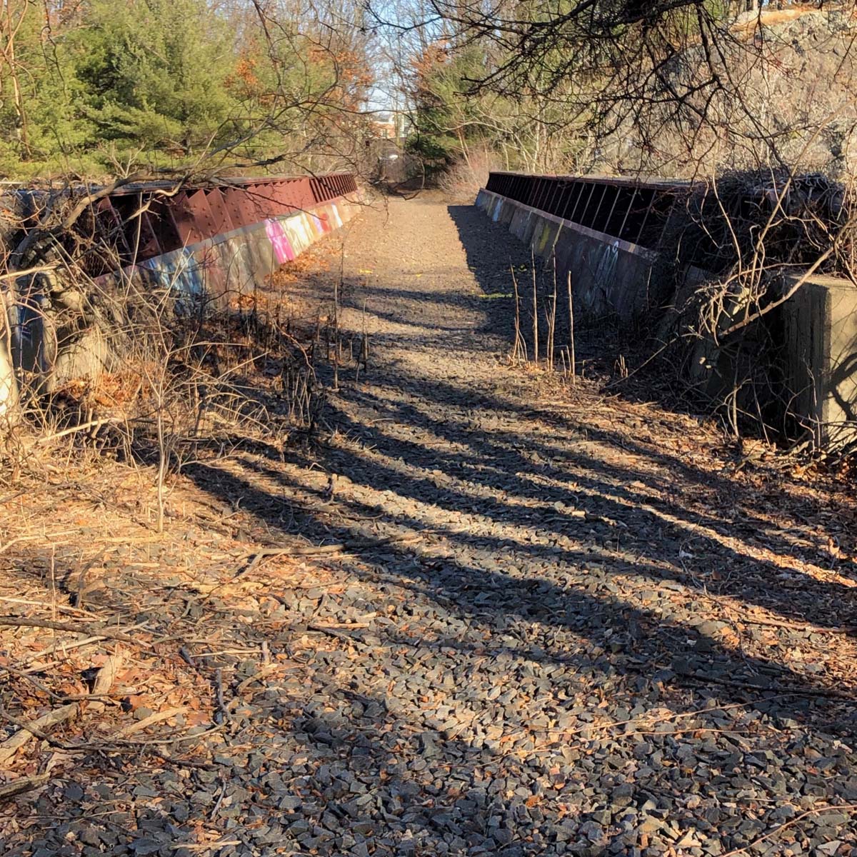
Photo Gallery
(click any image to view in lightbox)


Historic Photo Gallery
(click any image to view in lightbox)