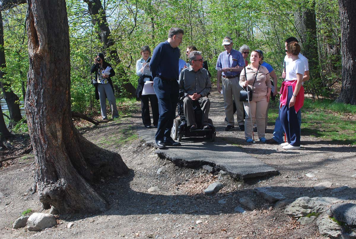
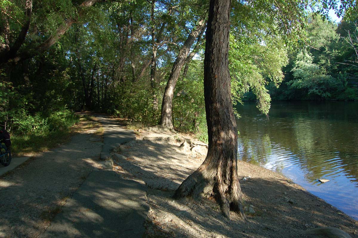
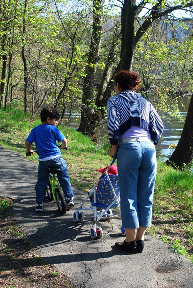
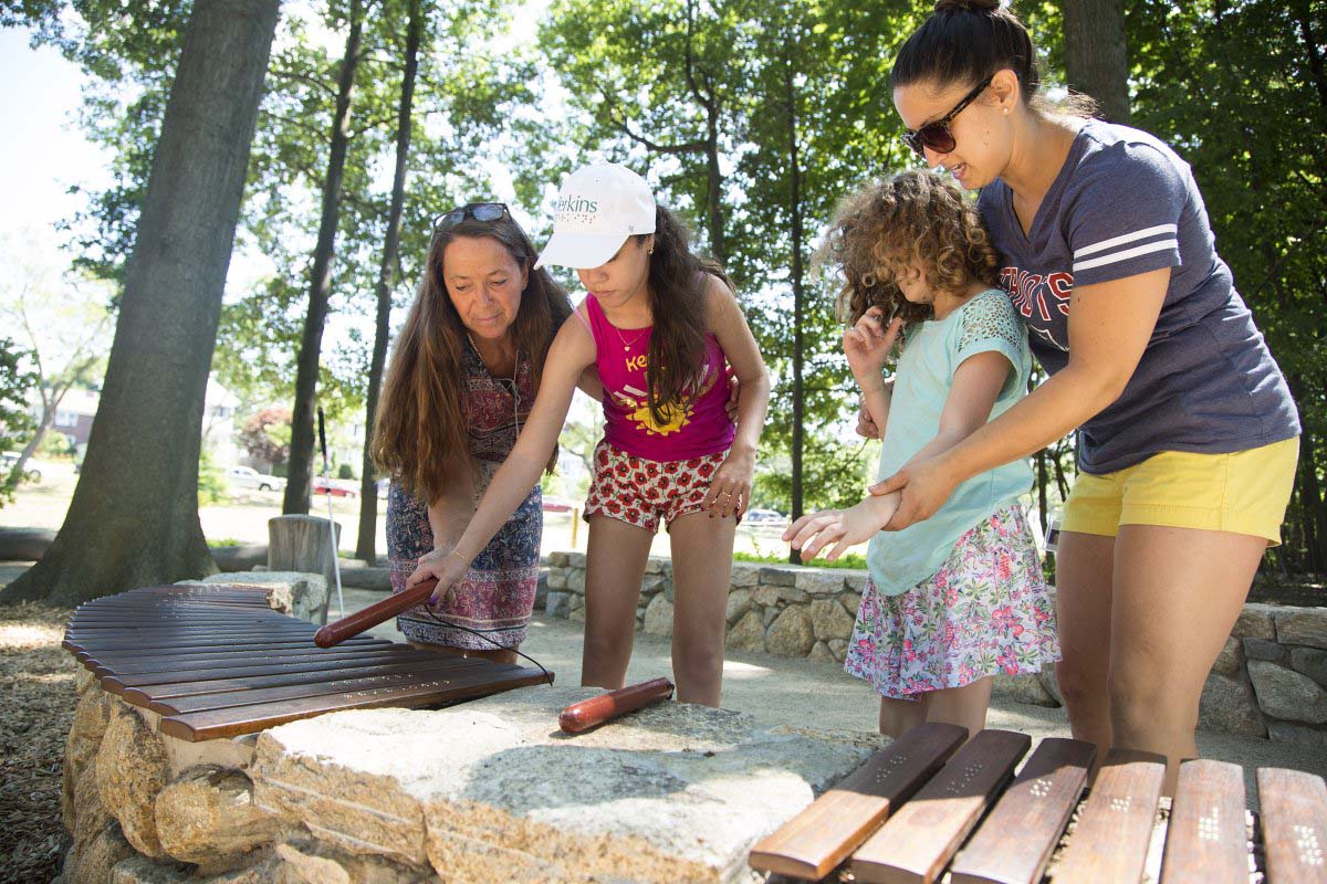
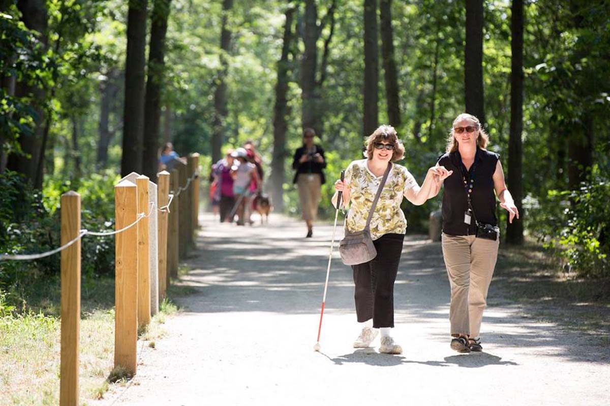
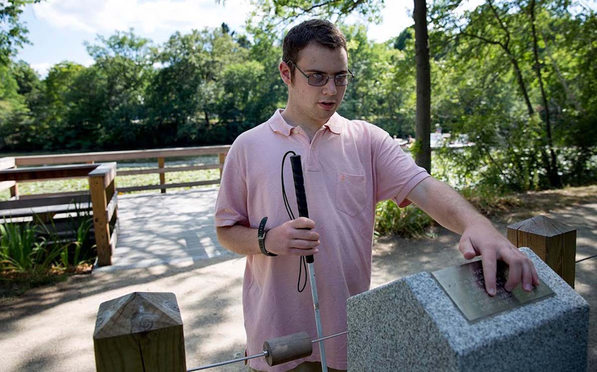
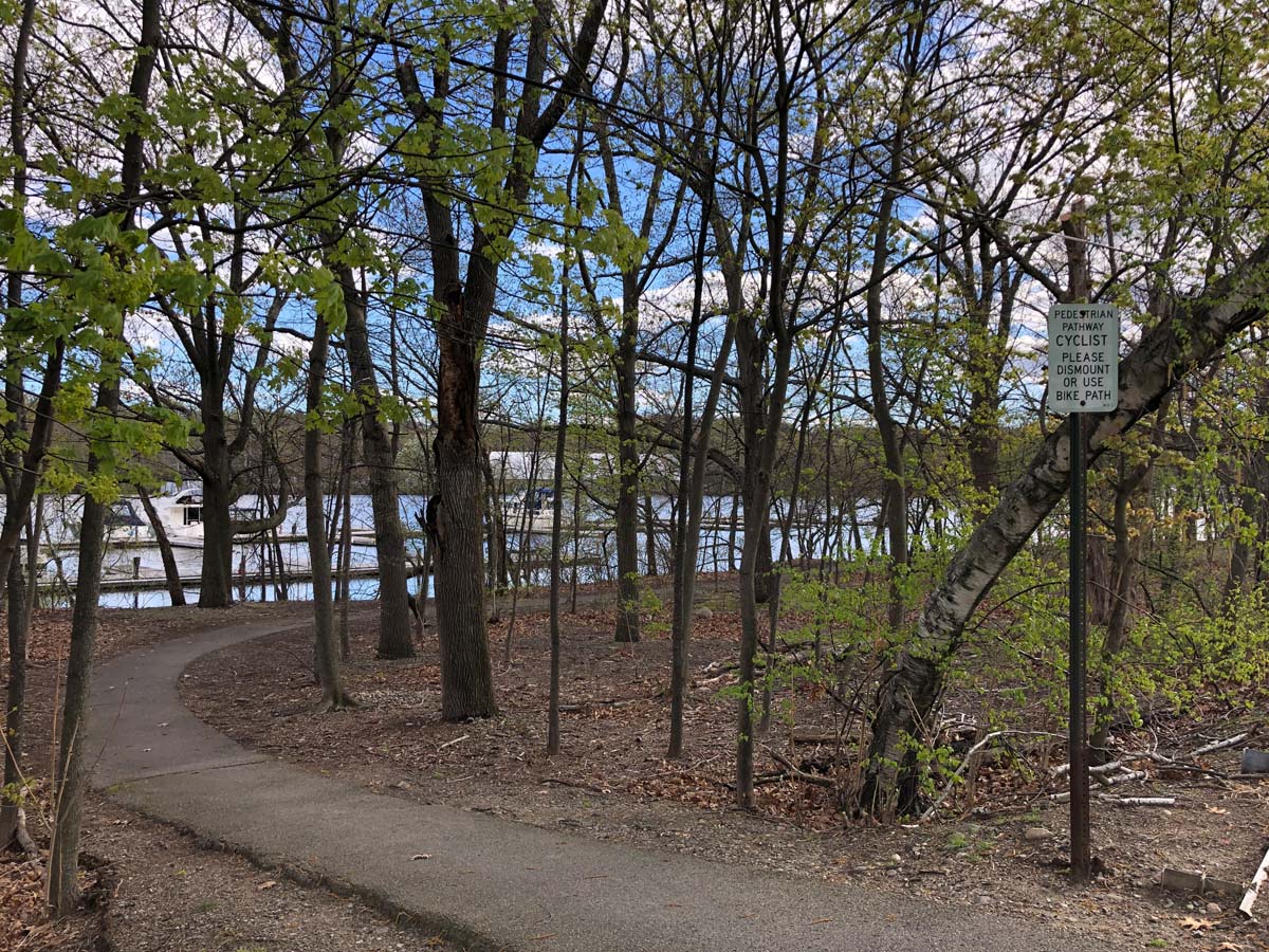
A decade of advocacy helped to restore this mile-long stretch of trail along the Charles in Watertown as a fully accessible riverfront park and a regional greenway link. Today, visitors have access to new bike and pedestrian paths, river overlooks, and sculptural benches. People who have sight impairments can now enjoy the freedom of the outdoors as they follow a braille trail line through the woods or interact with Mitch Ryerson’s sensory garden.
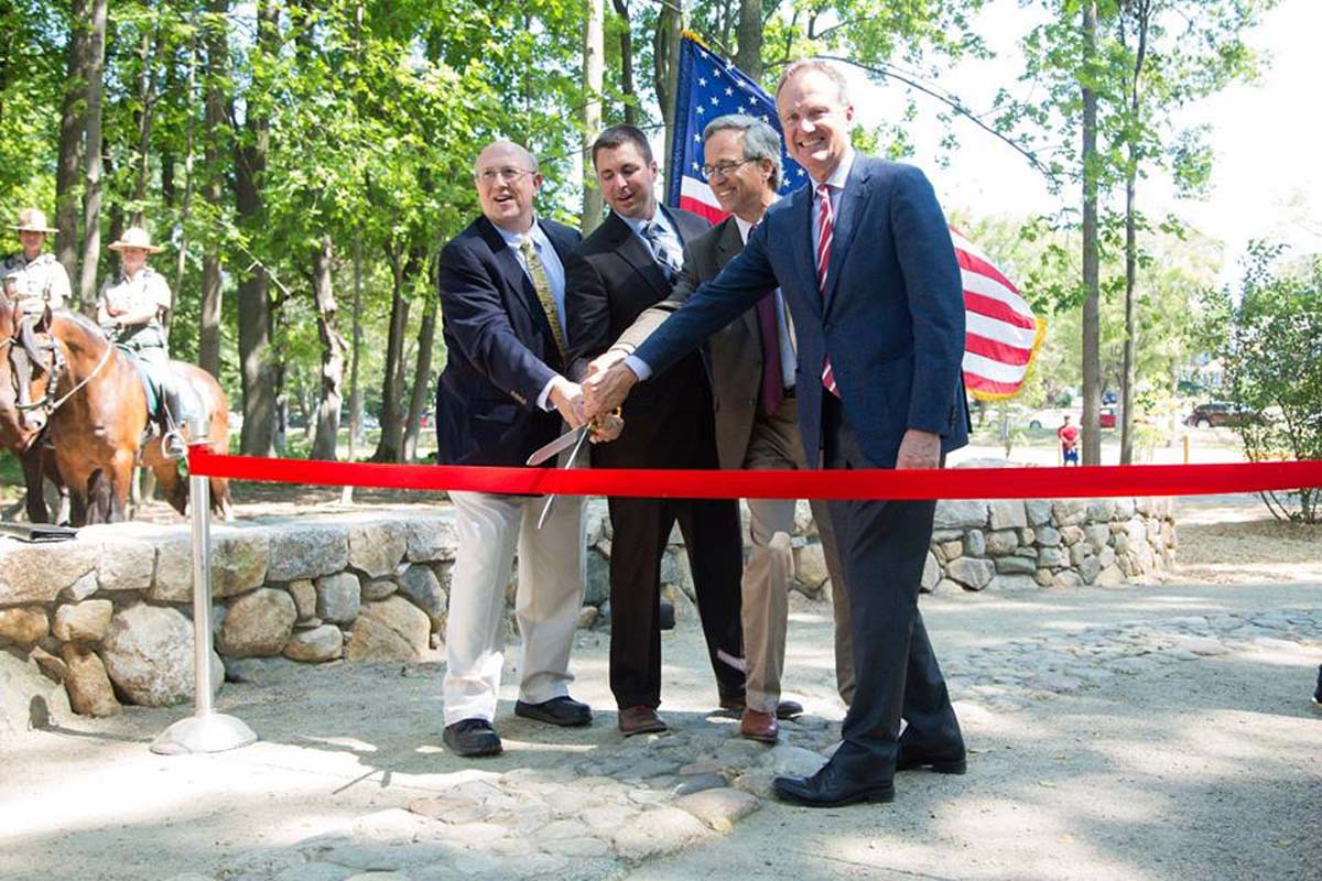
Background: For a mile below the Watertown dam, the Charles River was once walled off by an impenetrable tangle of vines and trees. The narrow half hidden trails were broken and falling into the water. The residents had for years complained about this for years to no avail. After touring the Charles River Basin in 2006 with DCR Commissioner Stephen Burrington, we identified the Watertown Riverfront as a good project to try out a new public-private partnership model whereby the Foundation would provide both funding and resources to manage the design process. The Solomon Foundation organized and paid for a community-driven design process facilitated by the Watertown-based Sasaki Associates. With multi-year funding from the Foundation, the Friends of the Watertown Riverfront formed, and they launched a campaign to gain public funding. In 2005, the project made it to the top of the state’s Land and Conservation Fund list, and the design was finalized with the creative input of artist Mitch Ryerson, who was recruited by the Foundation. Built in 2014-16, the project has created access and transformed the relationship of the neighborhood to the river.


Sketches of design for sensory garden and benches.
Timeline
| Date | Milestone |
| 2006 | Project Scoping |
| 2007 | Conceptual Design |
| 2008 | Restoration of the Saltonstall Founders Monument |
| 2014 | Groundbreaking |
| 2016 | Ribbon Cutting |
Project Details
Initiated:
- 2006 Riverside Greenway Working Group formed
Solomon Investments
- $150,000
Partner Investments
- $2,850,000
Key Partners
- Department of Conservation and Recreation
- Friends of Watertown Riverfront Park
- Perkins School for the Blind
- Watertown
- Watertown Community Foundation
Consultants
Status
- Post construction assessment underway.
Press
- Braille Trail officially open at Watertown Riverfront Park
- State to Increase Recreational Opportunities for People of All Abilities
Documents
Map/Directions
Photo Gallery
(click any image to view in lightbox)