A greenway is a multi-use active transportation corridor for people who are walking, running, rolling, riding a scooter, pushing a stroller, and it is green – ideally a park-like setting with trees for cooling neighborhoods and soaking up stormwater. Greenways and green places are what we think cities need more of to be livable, equitable, and competitive. Our aim is to identify the most promising projects, get them designed, and see them built. Working in partnership with outstanding individuals and institutions, we’ve done that for dozens of projects since 2005. Some are built, some are shovel-ready, and some are innovative ideas whose time is coming.
Active Projects
The proposed Charlesgate paths and parks will reconnect the Charles River Basin with the Back Bay Fens and reclaim an area overshadowed by highway infrastructure since the mid-20th century.
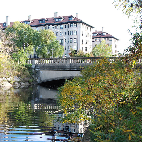
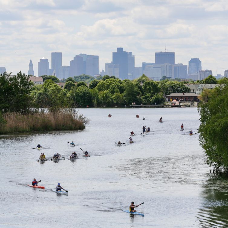
The half-mile Clippership Connector path, named for the Clipperships once built on these shores, will form a critical link in a regional trail system reaching from the Mystic River to the Charles River and the northwestern suburbs.
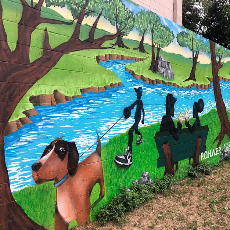
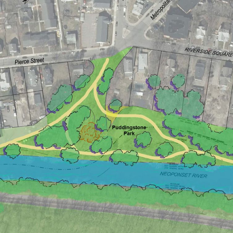
P.O.W.H.E.R. members have come together to create a vision for Doyle Park, one of Hyde Park’s only windows on the Neponset River. After years of volunteers working on park improvements, neighbors are eager to finish the design plans and permitting for the park.
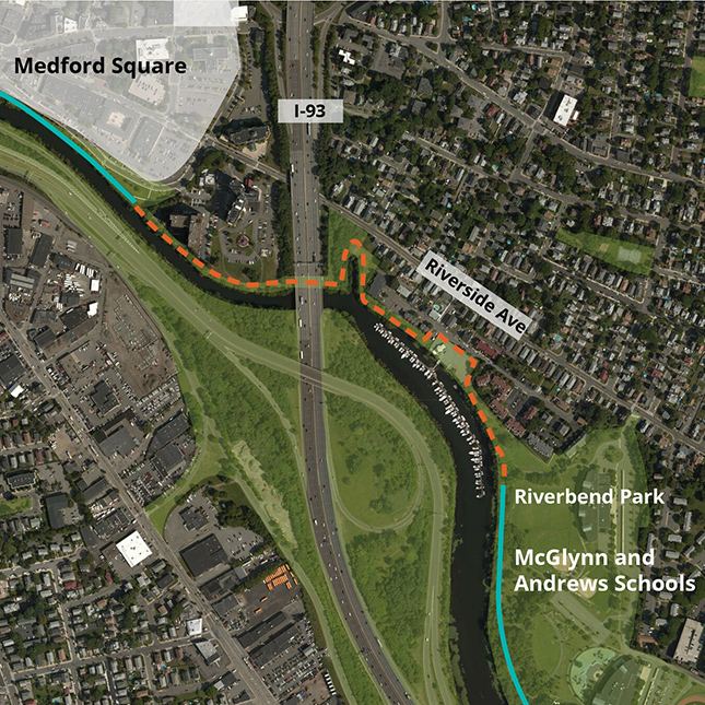
The proposed Hyde Park Riverwalk will stretch for half a mile from the Shops at Riverwood to the West Street Urban Wild. It will cross over several acres of filled land created by the DCR (then MDC) when they dredged the Neponset River in the mid 20th century.
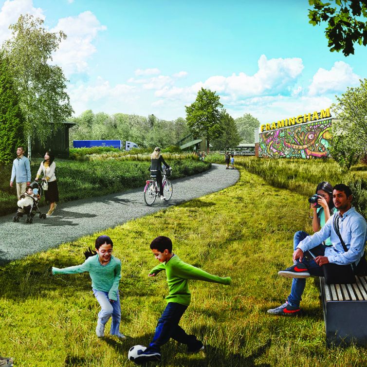
The goal of this advocacy campaign is to extend the existing Upper Charles Trail (UTC) in Millis, Holliston, and Ashland the last two and a half miles through Sherborn to downtown Framingham.
Past Projects
The Mystic River Watershed Association, is leading a comprehensive, community-driven plan and design for Blessing of the Bay Park and DCR is building initial park improvements.
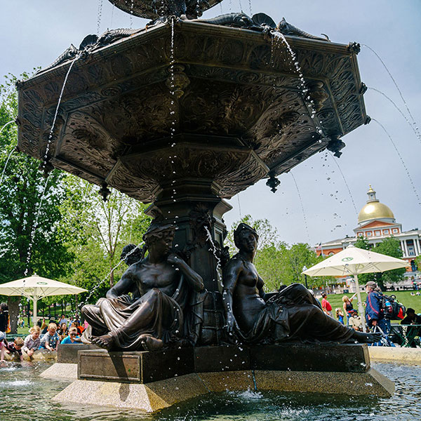
The plaza and park surrounding the fully restored Brewer Fountain were transformed into one of Boston’s most iconic places.
The proposed Charlesgate paths and parks will reconnect the Charles River Basin with the Back Bay Fens and reclaim an area overshadowed by highway infrastructure since the mid-20th century.
The half-mile Clippership Connector path, named for the Clipperships once built on these shores, will form a critical link in a regional trail system reaching from the Mystic River to the Charles River and the northwestern suburbs.
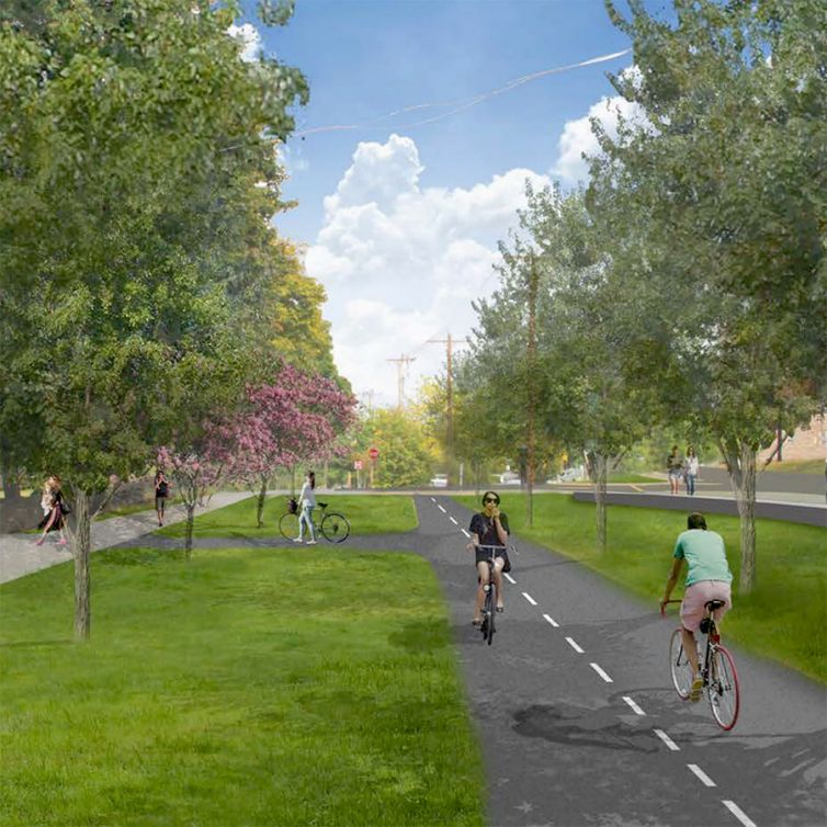
The Western most section of Newton’s Commonwealth Ave. Carriageway was reconfigured mid-century leaving a dangerous stretch of road. The City of Newton is leading designing a restoration of the greenway.
P.O.W.H.E.R. members have come together to create a vision for Doyle Park, one of Hyde Park’s only windows on the Neponset River. After years of volunteers working on park improvements, neighbors are eager to finish the design plans and permitting for the park.
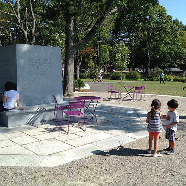
For decades the Charles Eliot Memorial was overlooked and largely forgotten. This project was intended to create a worthy setting for the memorial, frame views to the river basin, and establish one of the few gathering areas on the Esplanade.
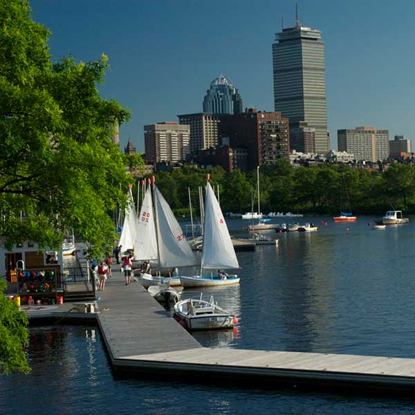
DCR restored four docks over a four-year period starting in 2007 with private support.